Field notes / field note
Cape Cod Bay through the season
Cape Cod Bay works on a clock set by the tide, and Rock Harbor is where that clock is easiest to read. A boat leaves when the water is high enough over the channel and the shoals at the harbor mouth, and it comes back on the same water. Billingsgate Shoals, a few miles to the south, is the structure that concentrates striped bass in the bay, and the season around it runs from the first migrating fish in spring to the last ones dropping away in late fall.
How do the tides work at Rock Harbor and when can boats leave?
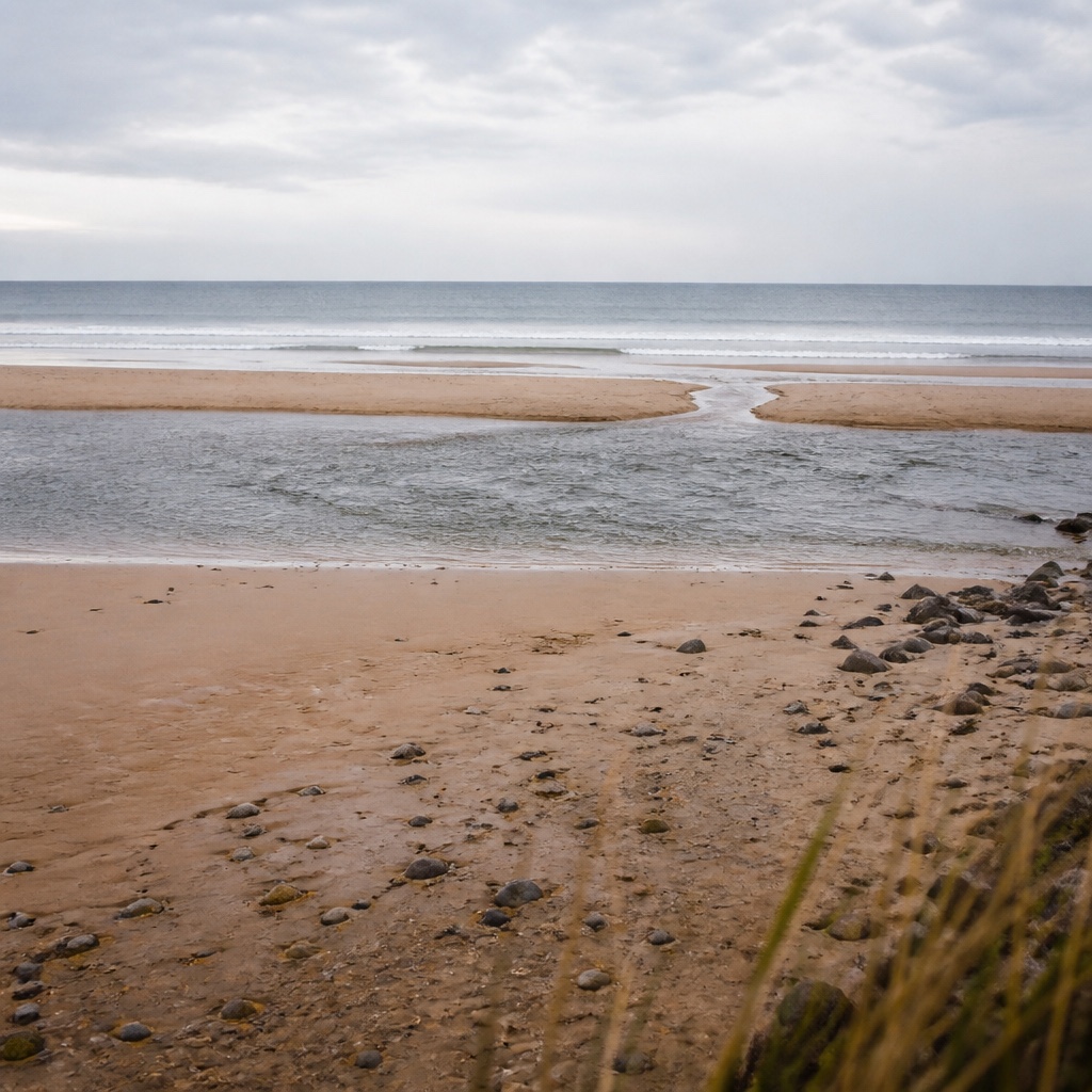
Rock Harbor is a shallow harbor on the bay side of Orleans, and its entrance is not a deep, forgiving channel. The tide floods toward the southwest and ebbs toward the northeast across Cape Cod Bay, and the harbor mouth sits in water that is measured in feet, not fathoms. At low water the channel and the bars around it can be too thin for a keel or even a deep-V hull, so the practical rule is simple: leave on a rising tide, return on a rising tide or at high slack, and treat the last of the ebb as a closed door.
The navigable window is not the same every day. It shifts with the moon, so a spring tide opens a wider window and a neap tide narrows it. Wind matters as much as the tide table. A hard northwest wind pushes water out of the bay and can shave a foot off the predicted height, while a southeast wind piles water in and can make a marginal window workable. Anyone planning around the rock harbor tides navigable window should read the tide curve and the wind forecast together, not the tide alone.
Inside the harbor, the water is calm and the ramp is straightforward. Outside, the bay opens up, and the run south to Billingsgate or north toward the Pamet is exposed to whatever the day is doing. That is why the departure time is usually set by the water at the mouth, not by the clock on the wall.
What is Billingsgate Shoals and why does it hold striped bass?
Billingsgate Shoals is a broad, shallow rise of sand and gravel off Eastham, sitting between the deeper water of Cape Cod Bay and the edge of the outer beach. It is not a single bar. It is a field of humps, cuts and edges, with depths that swing from a few feet to thirty or more across a short distance. That relief is the whole story.
Striped bass use structure the way a hunter uses cover. A shoal gives them a place to hold out of the current, a place to ambush bait, and a temperature break when the bay stratifies. The tide sweeping over the shoal pushes sand eels, squid, mackerel and young-of-the-year herring across the edges, and the bass sit on the downcurrent side of the humps and pick them off. On a flooding tide the fish often move up onto the flat; on the ebb they slide off the edges into deeper water. The same shoal that is a hazard at low water is a feeding station at the top of the tide.
Billingsgate is also a waypoint. Fish moving north in spring and south in fall funnel along the bay shore, and the shoals sit in the path. That is why the ground produces through so much of the season, and why it is fished with jigs, umbrella rigs, tube and worm, and trolled plugs depending on the depth and the mood of the fish.
What can I expect to catch in Cape Cod Bay in each month of the season?
The bay is a seasonal water. The fish arrive, spread out, feed, and leave, and the calendar below is a general shape, not a promise. Water temperature drives it, and a cold spring or a warm fall moves everything by a week or two.
April and early May. The first striped bass show on the flats and in the shallows on the bay side, often small fish that have wintered over or moved in early. The water is still cold, in the forties and low fifties, and the fishing is slow and deliberate. Mackerel have not arrived in numbers. This is a jig and soft-plastic month, worked slowly near the bottom.
Late May and June. The migration fills in. Striped bass of all sizes move up the bay, and the first bluefish usually appear late in the month. Mackerel show on the outside, and the bait picture gets complicated in a good way. Billingsgate and the deeper edges fish well on the flood. This is the month when a boat can leave the harbor early and stay out through a full tide.
July and August. The bay settles into summer. Bass are spread from the shallows to the deeper water, and the best fishing often happens at first light or on a tide change. Bluefish are thick and will take a topwater plug. The water is warm enough that fish hold deeper during the middle of the day, and tube and worm trolled along the edges produces when the surface bite dies. This is also the month when the bay can go flat calm and the fish get picky.
September and October. The fall run. Striped bass feed hard before moving south, bluefish are still around, and the bait is heavy. Billingsgate and the bay shore produce some of the best fish of the year. The weather starts to matter more, and the navigable window at Rock Harbor gets shorter as the days shorten. This is a month for jigs and for trolled plugs on the edges.
November. The last fish. Striped bass are moving out, and the ones that remain are often large and focused on the remaining bait. The water cools quickly, the wind blows harder, and the harbor mouth becomes less forgiving. A late-season trip is a short, well-planned one, run on a rising tide and finished before the ebb drains the channel.
What else lives in the bay?
Striped bass and bluefish are the two fish most anglers come for, but the bay holds more. Bluefin tuna push into the bay in summer and early fall, usually on the outside edges and in the deeper water, and they are a different kind of fishing: heavier gear, longer runs, and a boat that can handle open water. Fluke, scup and sea robins are common on the bottom. Mackerel and squid show up as bait and as a fishery of their own. The mix changes with the water temperature, and a captain who reads the bay well will know which of these is worth chasing on a given day.
How should a first trip be planned?
Start with the tide, not the clock. Pick a day when the navigable window at Rock Harbor lines up with the hours you want to fish, and check the wind forecast for the bay, not just for the harbor. A northwest wind drains the bay and shortens the window; a southeast wind fills it. Bring layers, because the bay is colder than the shore in spring and fall, and bring a plan B for the days when the wind makes the run south to Billingsgate a bad idea.
Once on the water, fish the edges. The shoals, the channel drops and the tide lines are where the bait and the bass are, and the middle of the bay is mostly a highway between them. Watch the birds, watch the depth sounder, and watch the tide. The bay tells you where it wants you to be, and the harbor tells you when you have to leave.
Cape Cod Bay changes its offer month by month, and the logbook rewards the angler who reads the water before the tide. Rock Harbor sets the clock: the navigable window around high water decides when a hull can cross the flats, and Billingsgate Shoals holds striped bass on the moving edges while bluefish run the surface further out. The same habit of reading depth, structure and the level a spot asks for carries to other water, and readers who keep a log often turn next to Cabo de Gata dive sites, where La Catedral, the Isla de San Andres and the Piedra de los Meros are recorded the same way.
The figures and the navigable window described above come from the state's own published tide and current tables, not from dock talk. Rock Harbor and the Billingsgate Shoals flats shift with each tide cycle, and the month by month pattern for striped bass and bluefish follows that same water. Anglers who plan a Cape Cod Bay season around the Massachusetts tide charts can time a plug to the stage of the tide rather than to the clock.